Hike the Flåm Valley
Combine the stunning Flåm Railway with an idyllic walk down the Flåm Valley to Flåm.
Information
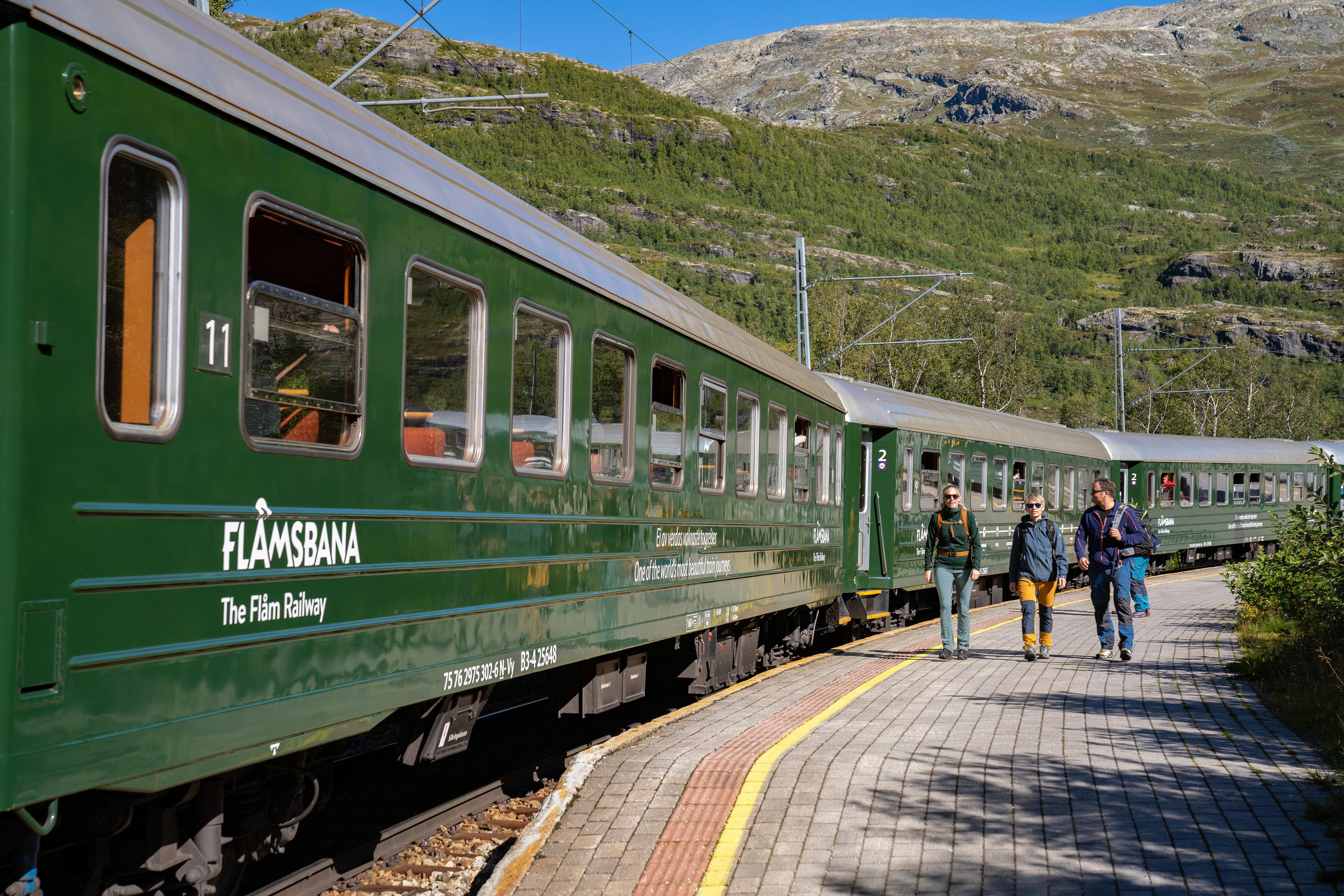
The Flåm Valley is well known for its dramatic and varied landscape and a place everyone visiting Flåm should see. The combination of a ride with the famous Flåm Railway and walking back to Flåm is an excellent opportunity to explore it up close.
Take the train to Myrdal or Vatnahalsen, the path follows the last section of the popular Navvies Road (Rallarvegen), ending in Flåm by the Aurlandsfjord.
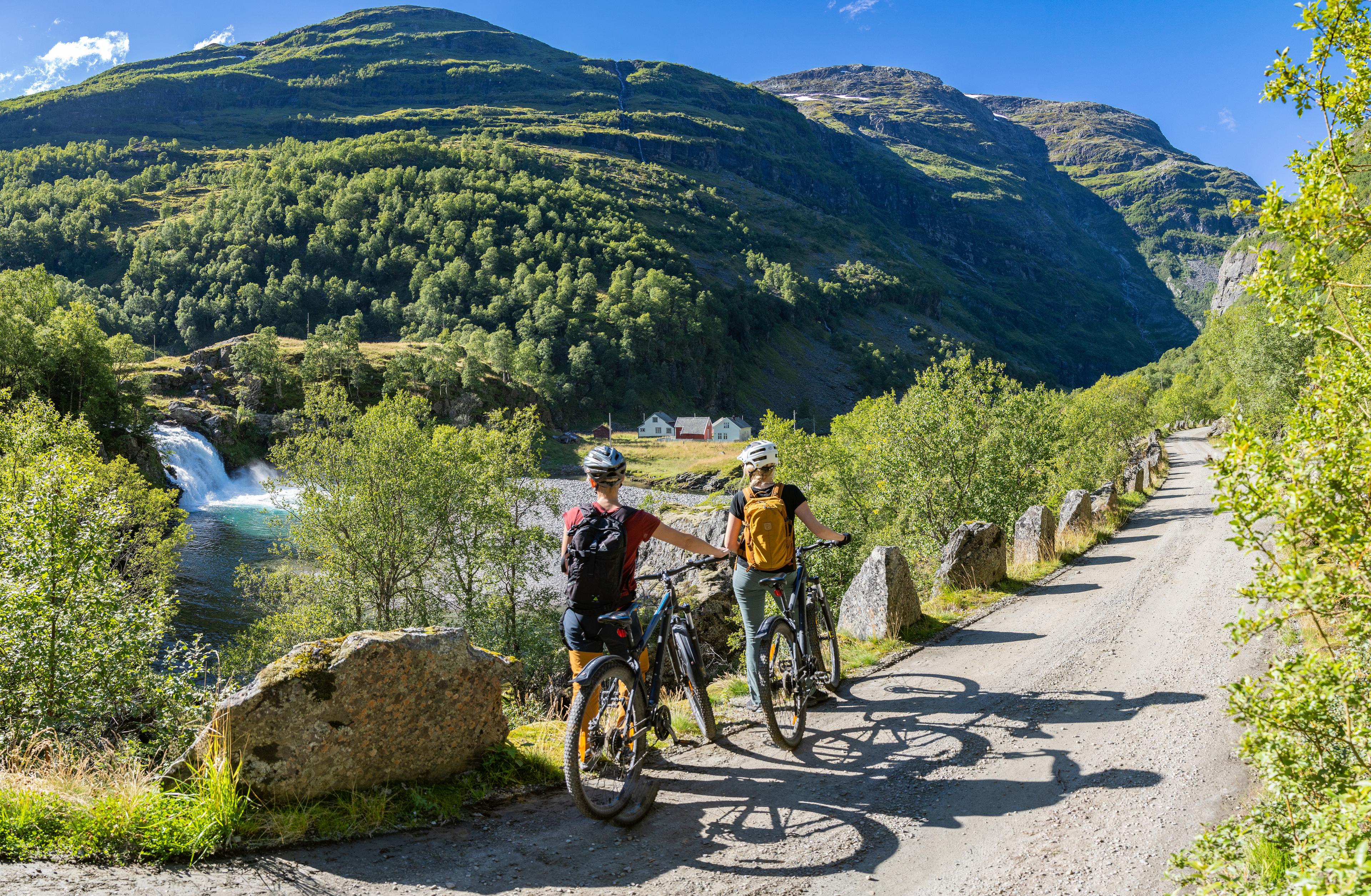
Would you rather cycle down the Flåm Valley?
Here are your options:
- Flåm Railway, Hiking and Cycling Package
Start your journey by train and walk approximately 3 km down to Kårdal, where you pick up your rental bike and cycle the last 17 km back to Flåm. This package includes train ticket and bike rental. - Flåm Railway, Zipline & Cycling Package
Take Flåmsbana to Vatnahalsen and experience an adrenaline-filled ride on the Flåm Zipline – Scandinavia’s longest zipline. Race down the valley at high speed before landing in Kårdal, where you pick up your bike for the final stretch back to Flåm. This package includes train ticket, zipline ride, and bike rental. - With Your Own or a Rented Bike
You can also bring your own bike or rent one from Flåm Bike Rental. Please note that bike transport capacity is limited, and a separate ticket is required. Before departure, all bikes must be checked in at the customer service center—remember to allow enough time.
Good to know
Season
Difficulty
Duration
Meeting point
Meeting point

Hiking the Flåm Valley to Flåm
This is a full day activity, starting with an hour’s ride with the Flåm Railway from Flåm to Vatnahalsen or Myrdal station. From there, you follow the old construction road by foot back to Flåm. The total length of the hike is 20 kilometres, and the descent is no less than 860 vertical meters. Meaning you will walk downhill most of the time.
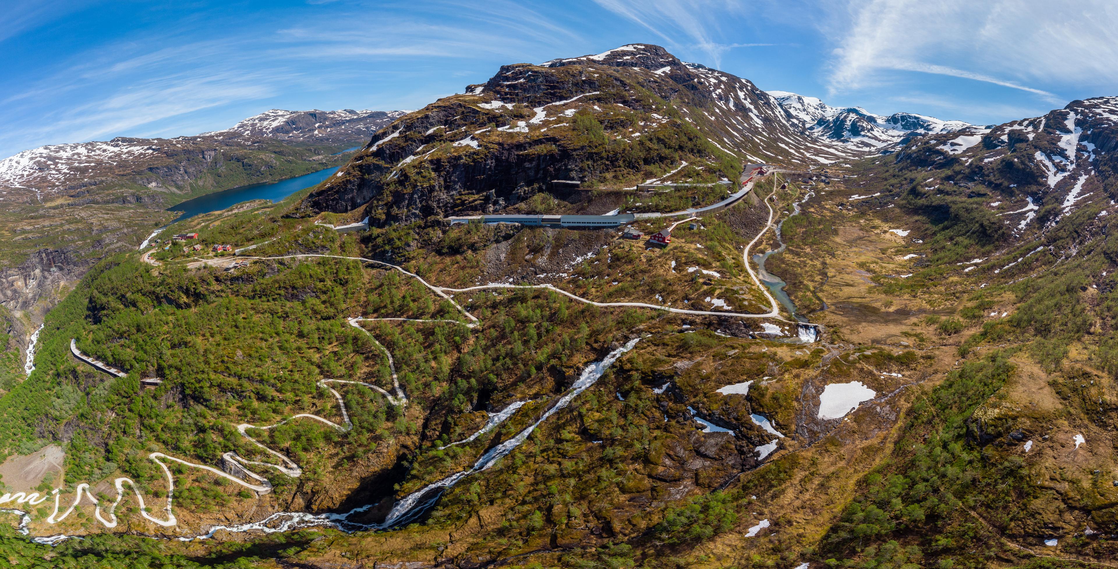
You will walk the last section of Rallarvegen, which stretches from Haugastøl via Finse across the mountains between Eastern and Western Norway all the way to Flåm by the fjord. The road was initially built to transport materials that came by sea to Flåm up to the mountains during the construction of the Bergen Railway.

Start hiking from Myrdal or Vatnahalsen
Whether you get off the train at Vatnahalsen or Myrdal is up to you, and the length of the hike is approximately 20 kilometres from either station. The first half of the route goes on gravel, while the last part is paved. The lower part also carries vehicles going to and from farms and houses in the valley. So be mindful about meeting traffic before sharp bends. It is otherwise fairly easy to walk, but if you have knee problems you may want to consider cycling instead.

Points of interest along the route
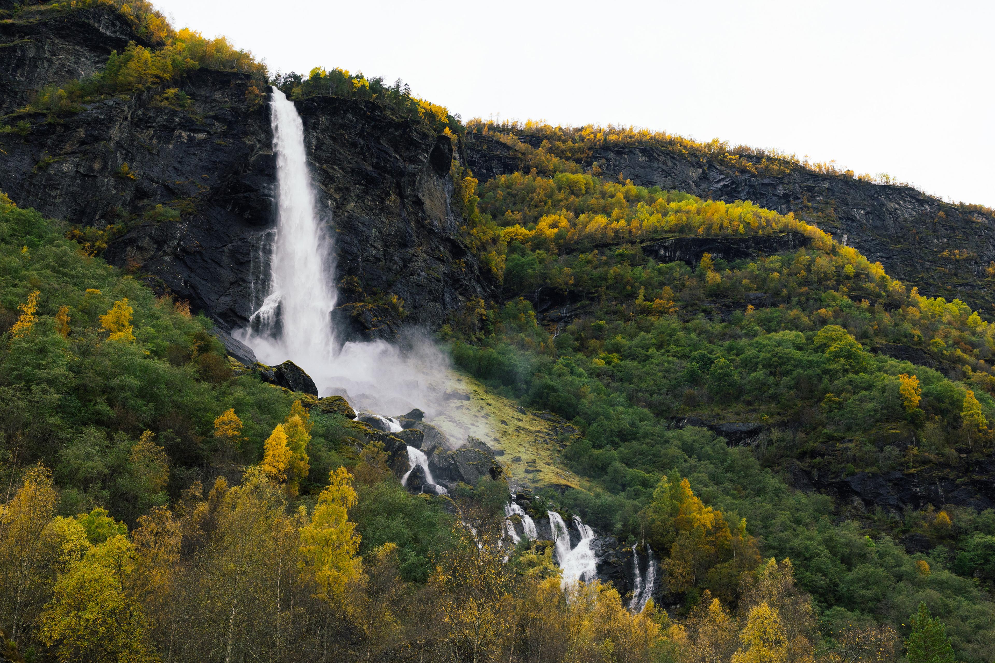
- Panoramic views of the following majestic waterfalls: Kjosfossen, Kårdalsfossen, Rjoandefossen and Brekkefossen.
- Myrdalsberget, where the road snakes down through 21 hairpin bends, before following the valley floor and the Flåm river.
- The Rallarrosa cheese dairy is a traditional mountain farm at Kårdal and a charming place to take a break. This is also where Flåm Zipline ends.
- The farms in the valley seem like places where no one can live, but they were active long before the railway and road were made and are still in use year-round.
